Existing Conditions Documentation
Capture accurate as-built conditions for renovations, retrofits and expansions.
Capture. Measure. Model. Precisely.
High-accuracy 3D laser scanning and reality capture services that transform complex environments into precise, intelligent data you can trust.
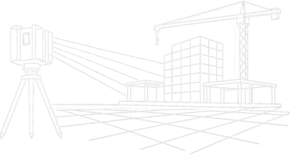
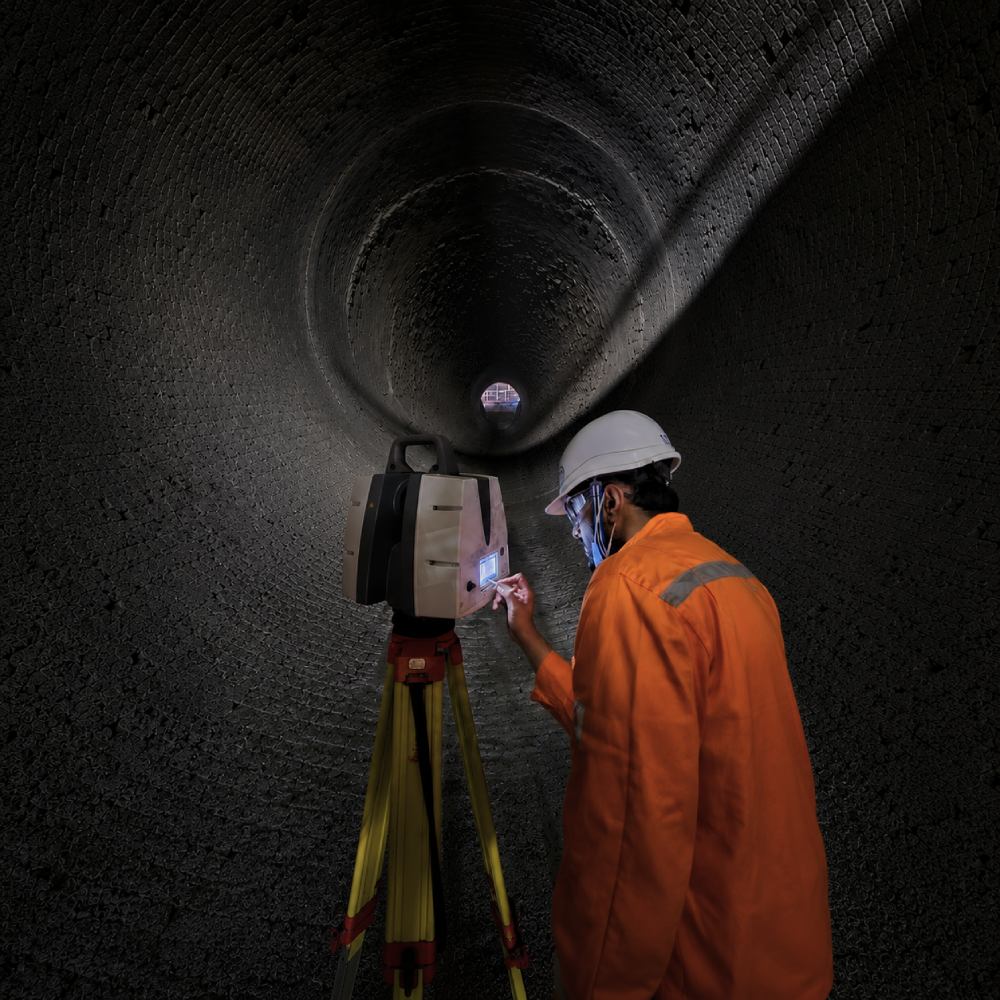
Our 3D laser scanning services provide precise, reliable data for design, construction, operations and asset management. We capture existing conditions with speed and accuracy, reducing risk and improving project outcomes.
Capture accurate as-built conditions for renovations, retrofits and expansions.
High-quality point clouds and models for BIM, clash detection and coordination.
Track progress, verify work and ensure alignment with design intent.
Create digital twins for operations, lifecycle management and maintenance.
We define objectives, scope and deliverables.
On-site scanning using high-precision equipment.
Point cloud registration, cleaning and optimisation.
3D modeling, QA/QC and validation.
Delivery of final outputs and ongoing support.
From raw data to intelligent models, we deliver the insights you need.
See beneath the surface with confidence.
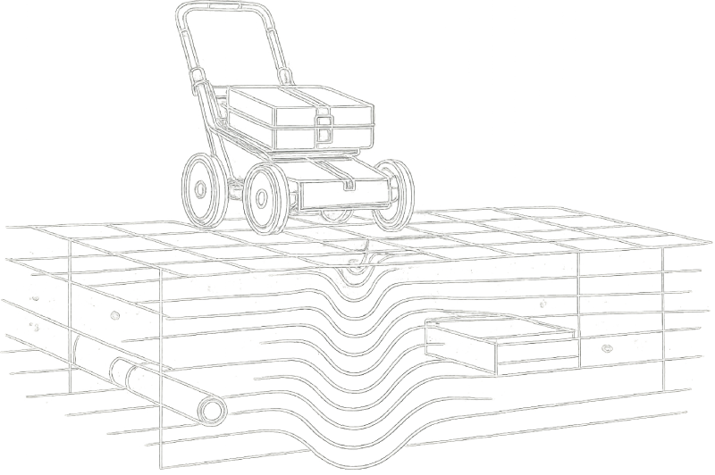
Our GPR services deliver non-destructive subsurface investigations, identifying utilities, voids, reinforcement and underground structures with high accuracy and reliability.
Locate underground utilities below you.
Detect rebar, tendon and conduit in concrete.
Identify voids, cavities and subsurface anomalies.
Assess roadways, bridges and structural elements.
Let's discuss your project and deliver accurate data you can build on.